About the Project
Background and Project Aims
 Many of the largest concentrations of archaeological and fossil sites relating to the earliest stages of human evolution and the earliest pathways of population dispersal and expansion out of Africa are associated with conditions of extreme geological instability. These include active tectonics, rifting, plate motions at plate boundaries, earthquakes, faulting, volcanism and sea level change, the latter being a function both of earth movements and climate change.
These processes can have a powerful destructive effect on human life, livelihoods and landscapes. They can also have a large impact on the differential preservation and visibility of archaeological and fossil evidence. Despite these potentially negative features, we argue that the association of geological instabilities with human evidence is not simply a coincidence. Rather, we have shown how they can create potentially attractive conditions for human settlement and dispersal, and may have played a powerful and dynamic role in the development of human society, exercising selection pressures in favour of the early human evolutionary trajectory.
 Testing this proposition faces some serious challenges, the most formidable being the difficulty of reconstructing the physical habitat at earlier periods where so much has changed. These geological processes also play a major role in preserving, exposing or destroying archaeological evidence and need to be better understood if we are to evaluate the distribution of archaeological and fossil data in time and space.
Our overall aims are, firstly, to develop new methods of landscape reconstruction, taking advantage of new methods of tectonic geomorphology, a new generation of satellite and digital imagery, and new geophysical theories of landscape evolution and deformation, combined with existing methods of geomorphological and climatic reconstruction, and secondly to explore the impact of physical landscape change on human evolution.
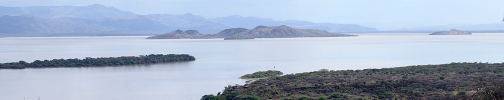
 The research is focussed on the western Arabian escarpment and the now-submerged territory of the southern Red Sea, including field survey on land and underwater, and also draws on comparative research in adjacent regions in Africa, particularly the Kenyan Rift, and in the Near East, particularly the southern Levant and the Eastern Mediterranean. In the Arabian case, the project is a joint Saudi-UK project in collaboration with the Saudi Commission for Tourism and National Heritage (SCTNH) and King Saud University (KSU), Riyadh, and in Kenya involves collaboration with the National Museums of Kenya (NMK) and the Kenya Agricultural and Livestock Research Organisation (KALRO).
Project Objectives
- Develop techniques for reconstructing and mapping the physical morphology of landscapes at a variety of geographical scales, taking account of the geophysical processes that mould and modify the land surface.
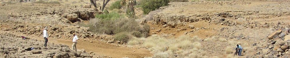
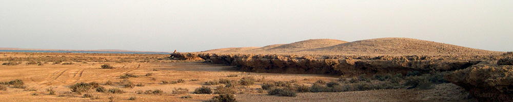
- Investigate the Stone Age archaeology and landscapes of western Arabia and search for new archaeological material on land, with particular reference to the South-western region of Saudi Arabia (Jazan and Asir ). This region appears to have been one of the most persistently fertile, well-watered and ecologically diverse regions in the Arabian Peninsula throughout the Quaternary period. It would also have been easily accessible to incoming populations from Africa, either from the North, or more directly across what would have been a very narrow sea channel at the southern end of the Red Sea during periods of lowered sea level.
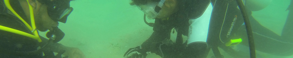
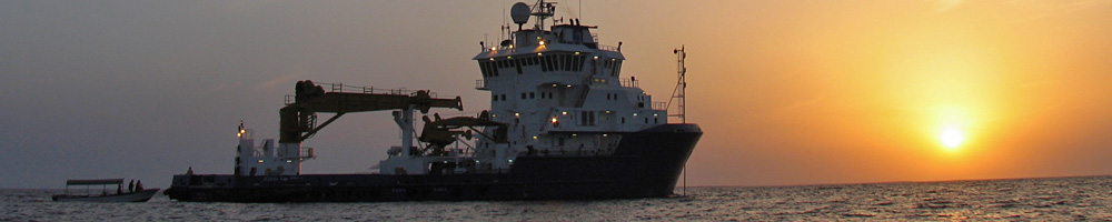
- Extend techniques of landscape reconstruction to selected areas of the submerged continental shelf offshore of South-western Saudi Arabia, and in the vicinity of the Farasan Islands, using acoustic survey, remotely operated underwater vehicles, coring and diving, and assess the local environmental and climatic conditions that may have existed there at lower sea level, and the prospects for discovery of prehistoric archaeological material.
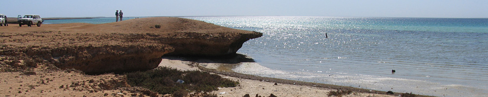
- Undertake a systematic dating and sampling programme of the coastal Holocene shell mounds on the Farasan Islands, which are at the heart of our core region, as a benchmark for what constitutes a fully developed coastal economy, and as a guide to how to interpret traces of coastal settlement associated with older palaeoshorelines elevated above present sea level.