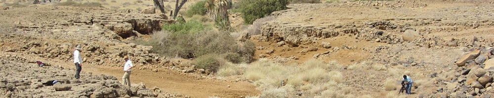
New fieldwork with the Saudi Geological Survey on the Red Sea Coast
Geoff Bailey and Robyn Inglis spent 10 days in the field between 28 November and 6 December with Bill Bosworth from Apache Egypt and a team from the Saudi Geological Survey led by Najeeb Rasul.
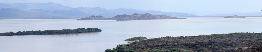
The objectives were to examine the structural geology and tectonic stratigraphy of coastal areas with coral and marine terraces that represent periods of sea level higher than present on the Farasan Islands and on the mainland, to measure their elevations, and to collect dating samples from them.
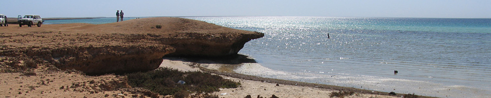
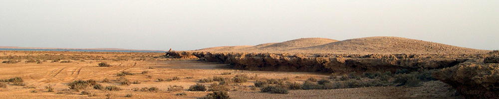
In the Farasan Islands the main target was the tectonically uplifted terraces of Farasan Kabir and Ras Shida, closely associated with the extensive shell mounds of the Islands. On the mainland work focused on the Harrat Al Birk region of Asir Province, where beaches belonging to earlier periods of high sea level are intimately associated with fluvial input, volcanic lava flows and in situ Palaeolithic artefacts.
The fieldwork has provided important new data on the differential elevation of raised beaches and their relationship to sea-level change and tectonic uplift and subsidence associated with the Farasan salt dome and the opening of the Red Sea rift.
Samples of fossil coral and shell were collected for U-series dating, and it is expected that the results will provide important new data on sea-level change and an improved geochronological framework for the interpretation of Late Quaternary landscape evolution and archaeology.
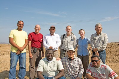
The photograph shows the members of the field team:
Front row (L to R): Adel Jurais, Nawaf Widinly, Mustafa Khorsheed
Back Row (L to R) : Salem Al Nomani, Bill Bosworth, Ali Al Saeedi, Geoff Bailey, Robyn Inglis, Najeeb Rasul
Not in picture: Fahad Al Rashidi, Thamer Backarman